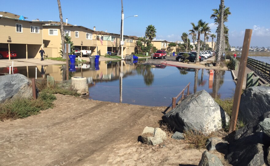
Imperial Beach is getting a boost from San Diego researchers who will help the low-lying community understand when there might be a risk of flooding.
Scripps Institution of Oceanography researchers are installing monitors that will help the coastal community understand when the risk of flooding goes up.
In the short term, the sensors will measure waves and ocean levels so city officials get a better sense of when immediate flooding events might occur.
The long-term impact could help the city deal with climate change.
“To understand that or plan for that you would have to have a pretty good sense of what the frequency, the duration of flooding, the number of events you expect to get a year. All of that I think goes into planning for the future and that’s really more the intent of the project,” said Mark Merrifield, director of the Center for Climate Change Impacts and Adaptation at the Scripps Institution of Oceanography.

Merrifield hopes to get a full winter’s worth of data this year with the chance that a second year of data collection might happen next winter.
A number of sensors in the ocean and on the beach will alert scientists about strong wave events.
The tools will measure ocean height and wave strength.
“There will be a directional wave buoy put offshore by a group called the Coastal Data Information Program. We’ll have tide gates that’ll be installed at the end of Imperial Beach Pier,” Merrifield said.
Imperial Beach was found to be particularly susceptible to flooding because it is bound on three sides by water; San Diego Bay, the Ocean, and the Tijuana Estuary.


