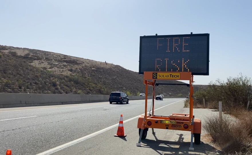
Late-season Santa Ana winds are raising concern Wednesday among San Diego weather watchers that the risk of a wildfire is climbing with wind speeds.
The National Weather Service said a red flag warning takes effect Wednesday and is expected to last through the weekend. The fire threat is not linked to heat.
RELATED: San Diego Coastal Marshes May Become Important Tools To Battle Climate Change
“It’s that combination of dry air,” said Dan Gregoria, a National Weather Service meteorologist in San Diego. “It’s going to be bone dry and then when you combine that with the strong winds if there’s any fire starts they can easily get out of control in this critical fire weather environment.
The jet stream is holding a position well north of California and that’s allowing the current conditions to persist, according to Gregoria.
These are not typical hot desert winds generated during a Santa Ana event. In fact, daytime temperatures will be in the normal range.
RELATED: San Diego County Still Working On Climate Action Plan
“Not too warm, but in the lower 70s,” Gregoria said. “And with the dry air it really just cools off fast at night. It can drop 40, even 50 degrees in wind-sheltered locations. So, that’s why it gets really chilly at night. Dry air just doesn’t really leave any lid on the temperature.”
The wind is a real threat, however.
Potentially damaging winds could continue for seven to 10 days and that is rare for a Santa Ana during this time of year.
Forecasters say the winds could be strong enough to knock down trees or power lines.


