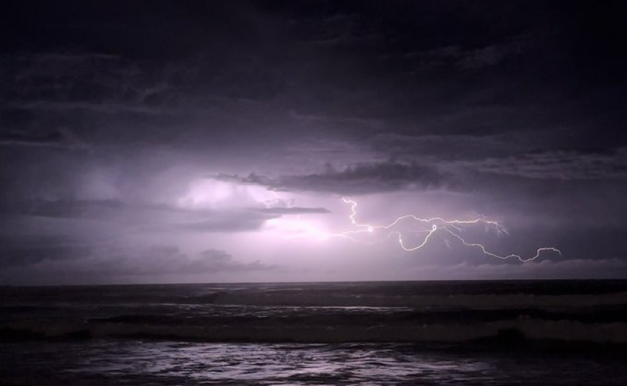
A Pacific storm that pounded California's coastal areas and stranded motorists was poised to pounce on the southeastern area of the state through Friday, bringing flood threats to a sweeping area extending from San Diego into the Mojave Desert and even into parts of Arizona.
As millions of Californians scrambled to finish their holiday shopping or prepared to head out onto highways, the National Weather Service issued flood watches for low-lying urban areas and the deserts.
Showers and thunderstorms could dump up to 1.5 inches of rain through the day, but the real concern was that some areas could be drenched with a half-inch to an inch of rain in just an hour, causing streams, creeks and rivers to overflow, the weather service said.
On Thursday, motorists were stranded in their vehicles on flooded roadways northwest of Los Angeles.
Downpours swamped areas in the cities of Port Hueneme, Oxnard and Santa Barbara, where a police detective carried a woman on his back after the SUV she was riding in got stuck in knee-deep floodwaters.
Between midnight and 1 a.m., the storm dumped 3.18 inches of rainfall in downtown Oxnard, surpassing the area’s average of 2.56 inches for the entire month of December, according to the National Weather Service.
Hours later, at Heritage Coffee and Gifts in downtown Oxnard, manager Carlos Larios said the storm hadn’t made a dent in their Thursday morning rush despite “gloomy” skies.
“People are still coming in to get coffee, which is surprising,” he said. “I don’t think the rain is going to stop many people from being out and about.”
By midday, the rain and wind had eased and residents ventured outside to look at the damage. No serious damage or injuries were reported.
Sven Dybdahl, owner of olive oil and vinegar store Viva Oliva in downtown Santa Barbara, said he had trouble finding dry routes to work Thursday morning, but most of the heavy rains and flooding had receded shortly before 11 a.m.
He said he was grateful that the weather is only expected to be an issue for a few days at the tail end of the holiday shopping season, otherwise he’d be worried about how the rains would affect his store’s bottom line.
“It will have an impact, but thankfully it’s happening quite late,” he said.
“This is a genuinely dramatic storm,” climate scientist Daniel Swain, of the University of California, Los Angeles, said in an online briefing. “In Oxnard, particularly, overnight there were downpours that preliminary data suggests were probably the heaviest downpours ever observed in that part of Southern California.”
The storm swept through Northern California earlier in the week as the center of the low-pressure system slowly moved south off the coast. Forecasters described it as a “cutoff low,” a storm that is cut off from the general west-to-east flow and can linger for days, increasing the amount of rainfall.
The system was producing hit-and-miss bands of precipitation rather than generalized widespread rainfall.
Meanwhile, Californians were gearing up for holiday travel and finishing preparations for Christmas. The Automobile Club of Southern California estimates 9.5 million people in the region will travel during the year-end holiday period.
The Northeast was hit with an unexpectedly strong storm earlier this week, and some parts of Maine, New Hampshire and Vermont were still digging out from rain and wind damage. Parts of Maine along the Androscoggin and Kennebec rivers were hit especially hard.
At least seven people in East Coast states have died in the storms, with deaths reported in Pennsylvania, New York, Massachusetts and Maine.


